Trusted By Waterpeople
Tested and loved by those who know these waters best:
★ 4.8 (20+ reviews)


Ocean-focused wall maps that honor the grit of the working mariner and the spirit of the ocean adventurer.
Because you are shaped by the ocean, not just inspired by it.
Tested and loved by those who know these waters best:
★ 4.8 (20+ reviews)
These are the maps waterpeople come back to, again and again.

Why These Maps Exist
You already know what these coasts look like from the water. Now you can see the whole thing at once: every passage, every anchorage, every stretch of shoreline that means something to you.
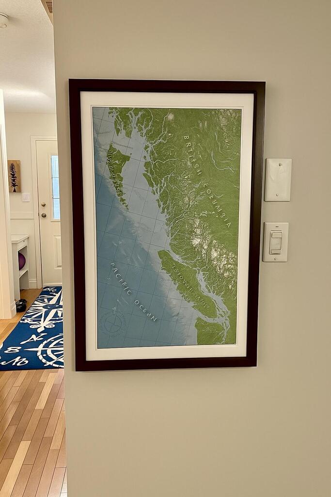
These maps are designed from an ocean perspective and are printed in small batches on archival paper.
One map. One wall. A lifetime of conversations.
Five Maps, Unlimited Possibilities

FEATURED MAP
Baja and the Gulf of California
For your winter planning session when you're thinking of long days and desert sunsets.
A map made for people who dream 'south' when the water at home turns cold.

POPULAR COLLECTION
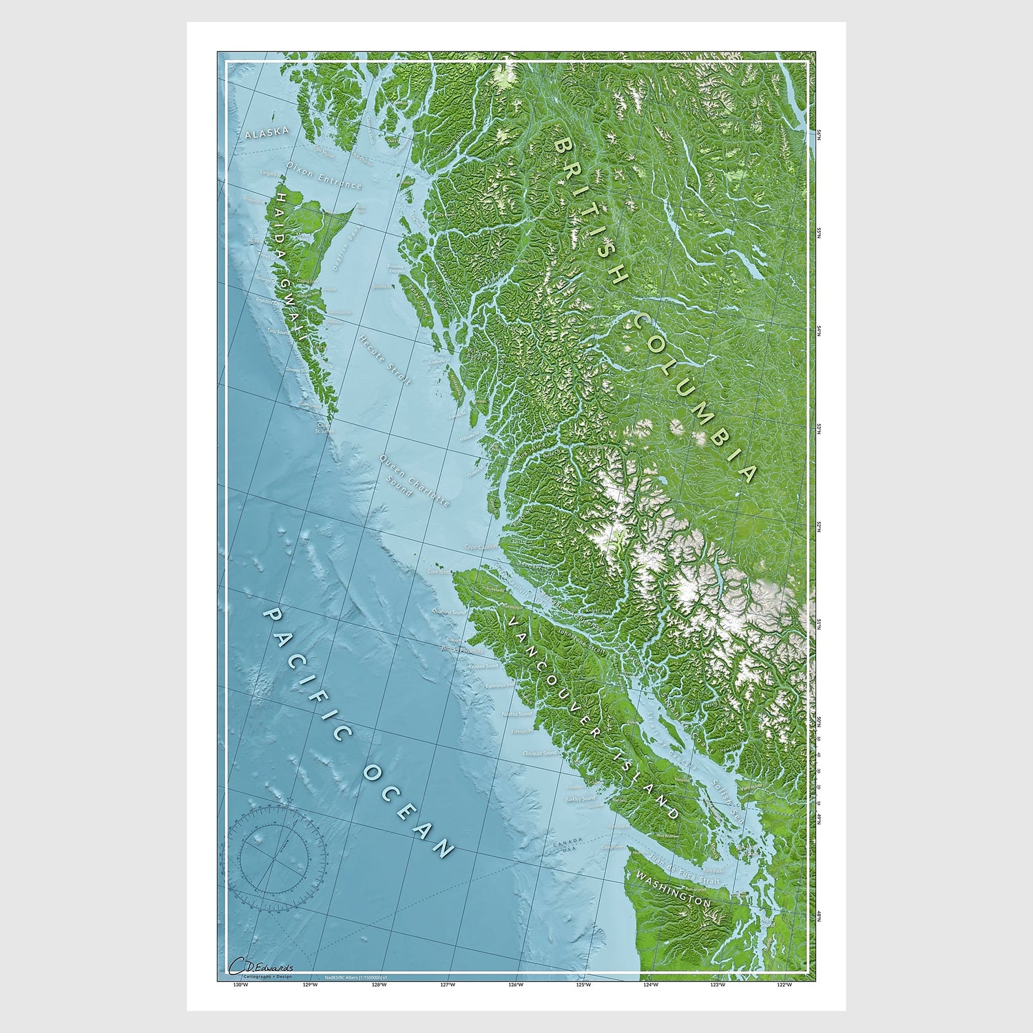
Coastal BC
Maps designed for people who understand what cold water means.

Made by a Waterperson
I'm Courtney. I'm a marine cartographer, and like you, I'm a lifelong waterperson. I live at sea on a sailboat and work up and down the BC coast.
I make maps from an ocean perspective. Not land with water as an afterthought; water as the story, land as context. Each one is designed to hold your stories, spark conversations, and keep your adventures alive long after you're back on land. It’s how you go from cliché 'coastal art’ to something that anchors your stories, your identity, and your next season on the water.
I obsess over the last 2%. Adjusting seafloor shading so it feels textured and alive. Tweaking colour gradients so depth transitions feel 'deep'. Testing label placements so nothing blocks the story. It's inefficient, but it's why every map I make has soul and not just data.
Built on experience. Designed with intention.

To Canada and the US

Orders ship in 2-5 days

No customs or tariffs

No questions asked
4.8★ Review average from waterpeople across BC, WA, and beyond.
★★★★★ 4.8/5 based on 21 reviews
My customers say it best


Maybe you chase swell. Maybe you follow tides. Maybe you live by the seasons. Or maybe you just need to see the whole coast at once:
Turn blank walls and buried photos into a daily reminder of who you became out on the water.