Skip to product information


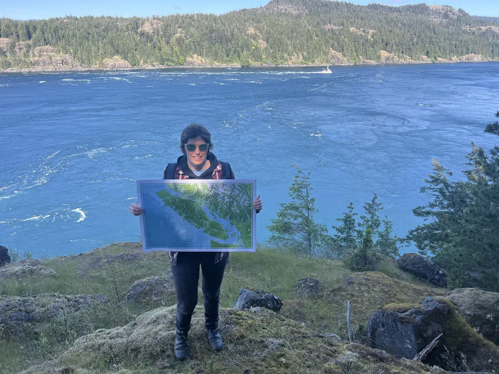
Map of British Columbia
$129.00 CAD
20x30 map professionally printed using archival-quality materials and processes.


It takes a lifetime to get the full picture of this coast. This map is designed for the people who are working on it:
- The Inside Passage, Haida Gwaii, and a smidge of Alaska – in one single view
- Labelled with the channels, sounds, and passages that mariners live by
- Detailed depth shading from the Strait of Georgia out to the open Pacific shelf
- Provisioning towns marked for planning passages
- Colours tuned to the fog, forest, and granite of the BC coast
- Big enough to draft routes and settle arguments about trips
- Archival Giclée print built to outlast the faded chart on your wall
This is the map of British Columbia, of the west coast of Canada, that you keep on the boat and on the wall at home. The one that shows how Desolation Sound connects to the Broughtons, or how your Hecate crossing lines up. For the people who already know – and the ones who are planning to find out... that this coast takes a lifetime to explore.
 Map Purpose
 Map Purpose
This map is for dreaming and story-telling. It is not a nautical chart and is not intended for navigation.
 Materials
 Materials
All maps are printed with giclée techniques using fade resistant, archival inks on 240gsm, satin photo paper with a resin coating. The result is a crisp white base with vibrant colours.
All maps are rolled paper prints with a ~0.78" (2cm) white border that makes them ready to mat and frame.
Dimensions: 30x20 inches (77x51 cm) measured to the outside edge of paper.
 Print Colour
 Print Colour
Every digital screen displays colour differently so please be aware that the actual item may appear to be slightly different in color than what you see on your computer or phone screen.
 Data Sources
 Data Sources
- Water/Coastline: Open Street Map (OSM) link
- Topography: NASA Shuttle Radar Topography Mission (SRTM)(2013). Distributed by Open Topography. https://doi.org/10.5069/G9445JDF.
- Bathymetry: GEBCO Compilation Group (2024) GEBCO Grid
- Imagery: Sentinel-2 cloudless-https://s2maps.eu by EOX IT Services GmbH (Contains modified Copernicus Sentinel data 2024)
Why You'll Love it
Intentional Design
Every detail is chosen with a mariner’s eye: clear lines, balanced design, no clutter. Only the things that you need to tell your story.
Quality Materials
Printed on archival, eco-conscious paper using Giclée printing and with plastic‑free packaging. Built to last and align with mindful values.
Customer Care
I'm just a one person, putting their art out into the world. I care that you get a good product and love your map.
Frequently Asked Questions
Can't find what you're looking for?
Send me a message.
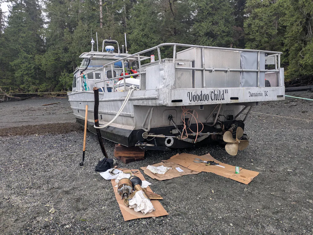
These maps are for anyone who likes the ocean: sailors, surfers, fisherman, paddlers, divers, coastal hikers; people who hike up that hill for a sunset over the water, and anyone who loves a good tidepool.
PSST...they also make a great gift :)
People who see the map can walk up to it and start asking questions and you start telling stories you forgot you had. You dream bigger. You plan BIGGER. You remember that being on the water matters to you so you do it more.
These maps are from an ocean perspective. The labels are similar to what's one a marine chart: bays, inlets, channels, seas. The towns are good stops for provisions or places to start an adventure. The colours feel like the place feels. It's from a mariners perspective. It's a map for waterpeople made by a waterperson.
An analogue, paper map is pure magic. It let's you see everything all at once. It lets you understand the big picture and easily switch to the details. And! Unlike a phone, everyone can look at the same thing at the same time, which makes for much better stories.
Nope. A nautical chart is a very specific, standardized, tool for safe navigation. A chart helps you keep your boat floating and lets you find your way at sea.These maps are not for navigation. They are for decoration, general trip planning , dreaming, and storytelling,
When an order comes in your map goes into the print queue within 6 hours (gives us some time to correct any address issues). The maps are off the printer and in the mail within 2 to 5 days. Then it's usually 3-10 days for standard shipping.
I ship to Canada and the United States. In the future, I will ship internationally, but if you are desperate for a map send me a message and I can do a custom order for you.
If you order from Canada, your map is printed and shipped in Canada. If you order from the US, your map is printed and shipped in the US. This means no surprise fees for anyone.
My mission at the CDEdwards Map Store is to provide maps that are works of art that you will enjoy for years to come. I understand the uncertainties associated with online shopping and I want to make the process as simple as possible.30 days, no questions asked. See the Returns and Exchanges policy for more details.
Yup. My boat is a Kelly Peterson 44 called Whisky Jack II. Because I live on a boat, when you place an order, your map is printed by my professional photography and fine art print partners.

Why I made this map